SaaS
Hosted by us · EU region
Sensors on site, the platform in our EU cloud. Fastest start, nothing to run. Monthly billing per site, ISO 27001-controlled.
- Live in weeks
- Monthly · per site
- EU data residency
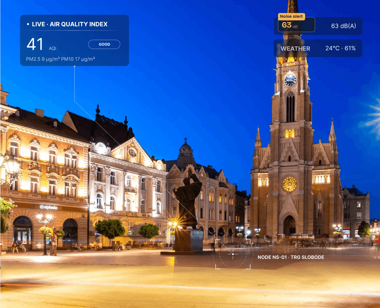
Integrated monitoring of air, noise, water and weather — live on one map, with the air quality index, alarms and AI flood warnings.
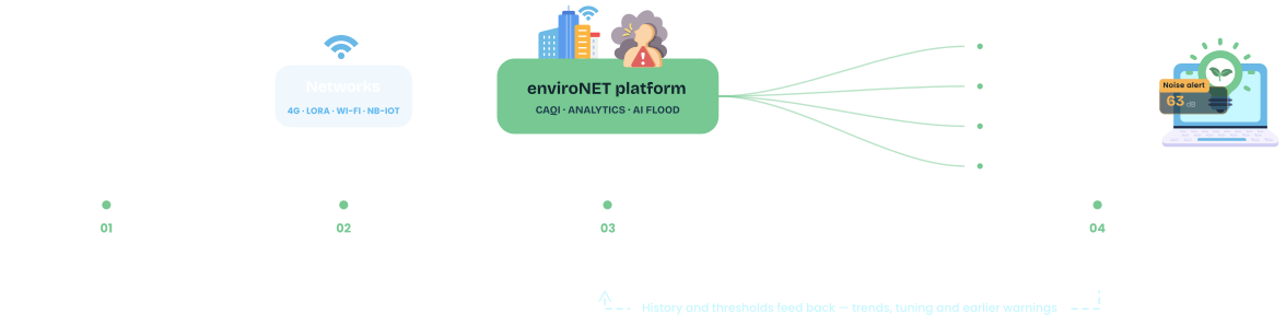
Distributed sensors measure conditions at each micro-location and transmit over any supported communication network. The platform processes and indexes the data, then serves map dashboards, reports, alarms and open APIs — with AI flood prediction on top.
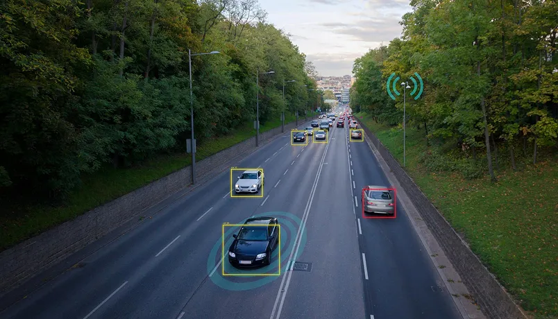
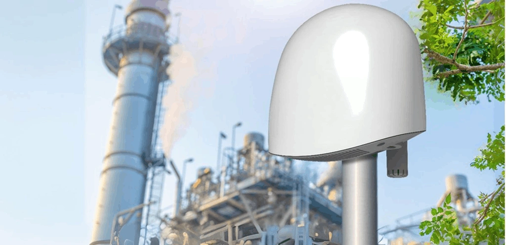
Distributed sensors and edge devices measure air and water quality, noise, weather, rainfall and water levels.
Readings reach the platform over 3G/4G, LoRa, Wi-Fi or NB-IoT — public, private or hybrid cloud.
The platform calculates the CAQI, checks thresholds and runs AI flood prediction on level and rainfall data.
Map dashboards, historical reports and exports, plus configurable alarms and notifications to the right team.
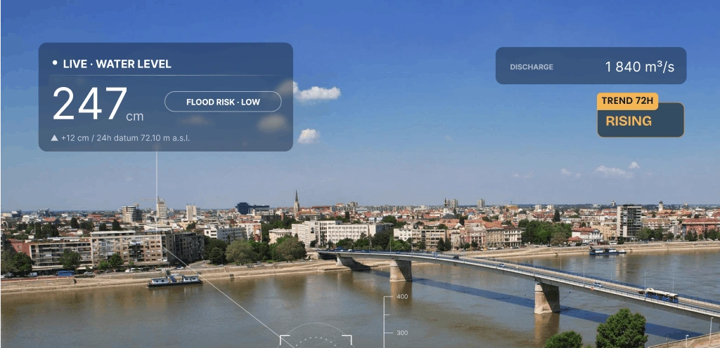
A map-based view of every sensor site, the CAQI and its guidance, water-level forecasting and the alarm feed — the screens city administrations and emergency teams use day to day.
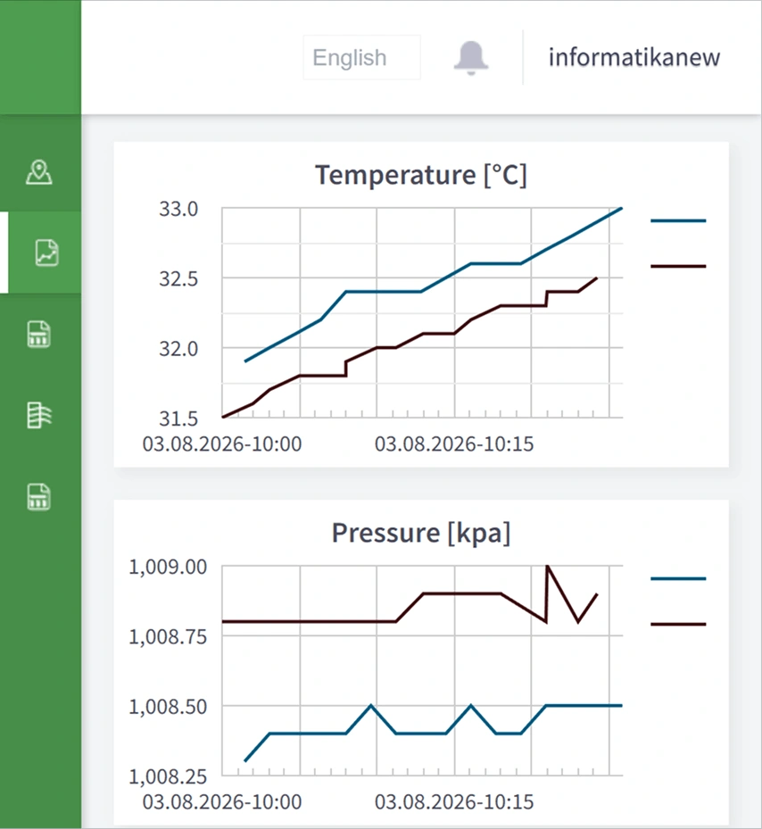
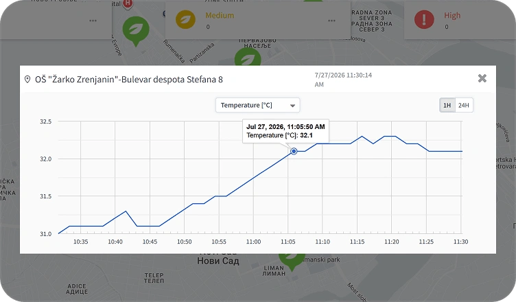
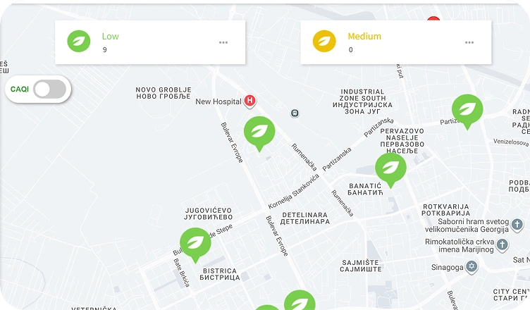
enviroNET integrates different sensor types over the networks you can actually deploy, and uses standardised interfaces and data formats so environmental data can combine with your other smart-city services.
Already have sensors deployed? enviroNET is built to take in different sensor types rather than replace them. Bring your current network to the discovery call.
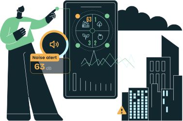
Your sensor network
Air · noise · water · weather
enviroNET platform
Process · index · predict
Dashboards & alerts
Maps · reports · notifications
Your ICT systems
City services · third-party apps
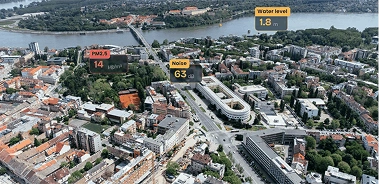
Urban air and noise at street level, water quality and levels in rivers, streams and drainage systems, and weather at the micro-locations that matter for planning and emergency response.
Sensors on site, the platform in our EU cloud. Fastest start, nothing to run. Monthly billing per site, ISO 27001-controlled.
enviroNET runs inside your Azure tenant — your data residency and compliance posture, our team keeping the platform and every device online.
Deploy on your own infrastructure, with additional sensor types and integrations built via the DunavNET Innovation Studio.
Indicative figures — replace with the confirmed municipal deployment
"We see air, noise, water and weather on one map, and the alarms reach the right team before conditions become a problem. The flood warnings give us hours we did not have before."
City environmental services
Municipal deployment · placeholder profile
Air quality, water quality, noise levels, weather parameters, precipitation, and water levels in rivers, streams and drainage systems — all on one platform and one map.
The Common Air Quality Index is a standardised European index that turns raw pollutant readings into a single comparable value. enviroNET calculates it per site and publishes it with plain-language guidance, so citizens and city teams read the same number the same way.
The platform runs an AI model over water-level and rainfall history from your own gauges, producing a short-horizon forecast and a risk level per location. When the forecast crosses a threshold you set, the alarm routes to the teams you nominate.
Readings can arrive over 3G/4G, LoRa, Wi-Fi or NB-IoT, on public, private or hybrid cloud. enviroNET is vendor-neutral and built to take in different sensor types — air quality, noise, water quality, weather and water-level gauges — rather than replace what you already have deployed.
Yes. An open REST API and CSV export cover both live integration and reporting, so environmental data can feed city services, third-party ICT systems and regulatory submissions.
You do, from the platform itself — users, devices, alarm thresholds and notification routing are all configurable. On the Managed Azure model our team keeps the platform and devices online while you keep control of the configuration.